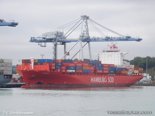
 CMA CGM SANTOS
Current Status
Where is the vessel?
CMA CGM SANTOS is currently in Near Suape, based on AIS data received about 14h ago.
Latest AIS update:
Current position: 8.39151° S, 34.96782° W (Near Suape)
Average speed (last 7 days): Loading…
Average speed (last 30 days): Loading…
Vessel profile: CMA CGM SANTOS is a Container Ship with dimensions m x m.
This page combines live AIS, route history, probable destination signals, nearby traffic, and port activity for practical vessel monitoring.
The current position of vessel CMA CGM SANTOS is -8.39151 lat / -34.96782 lng. Updated: 2026-05-22 19:39:50 UTCNearest reference points:
- Near Suape
- Near Boa Viagem
- Near Barra dos Coqueiros
Details:
Live Vessel CMA CGM SANTOS Analytics (details, animations, etc.)
Recent AIS points (UTC):
2026-05-22 17:09:52 UTC · -8.39150, -34.96786 · SOG 0 kn · COG 294°2026-05-22 17:33:51 UTC · -8.39150, -34.96787 · SOG 0 kn · COG 294°
2026-05-22 19:24:53 UTC · -8.39147, -34.96786 · SOG 0 kn · COG 294°
2026-05-22 19:39:50 UTC · -8.39151, -34.96782 · SOG 0 kn · COG 294°