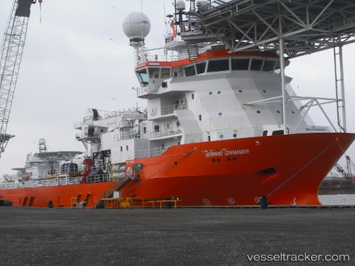
 NORMAND COMMANDER
Current Status
Where is the vessel?
NORMAND COMMANDER is currently in 20 nm NE of Fluminense FPSO, based on AIS data received about 15h ago.
Latest AIS update:
Current position: 22.48333° S, 40.09667° W (20 nm NE of Fluminense FPSO)
Average speed (last 7 days): Loading…
Average speed (last 30 days): Loading…
Vessel profile: NORMAND COMMANDER is a Multi Purpose Offshore Vessel with dimensions m x m.
This page combines live AIS, route history, probable destination signals, nearby traffic, and port activity for practical vessel monitoring.
The current position of vessel NORMAND COMMANDER is -22.48333 lat / -40.09667 lng. Updated: 2026-05-19 02:08:03 UTCNearest reference points:
- Near Fluminense FPSO
- Near PORTO DO ACU
- 68 nm SE of Espírito Santo FPSO
Details:
Live Vessel NORMAND COMMANDER Analytics (details, animations, etc.)
Recent AIS points (UTC):
2026-05-18 22:17:03 UTC · -22.48499, -40.09629 · SOG 0 kn · COG -1°2026-05-19 00:26:03 UTC · -22.48333, -40.09667 · SOG 0 kn · COG -1°
2026-05-19 01:59:02 UTC · -22.48333, -40.09667 · SOG 0 kn · COG -1°
2026-05-19 02:08:03 UTC · -22.48333, -40.09667 · SOG 0 kn · COG -1°