 ALMABROUKA 11
Current Status
Where is the vessel?
ALMABROUKA 11 is currently in Near Berbera, based on AIS data received about 14h ago.
Latest AIS update:
Current position: 10.47927° N, 44.93169° E (Near Berbera)
Average speed (last 7 days): Loading…
Average speed (last 30 days): Loading…
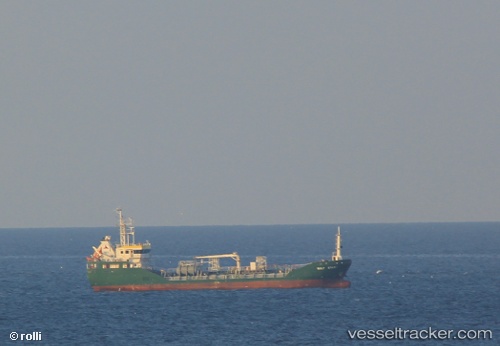
Vessel profile: ALMABROUKA 11 is a General Cargo with dimensions m x m.
This page combines live AIS, route history, probable destination signals, nearby traffic, and port activity for practical vessel monitoring.
The current position of vessel ALMABROUKA 11 is 10.47927 lat / 44.93169 lng. Updated: 2026-05-21 00:27:32 UTCNearest reference points:
- Near Djibouti
Currently sailing under the flag of Tanzania ![]()
Details:
Live Vessel ALMABROUKA 11 Analytics (details, animations, etc.)
Recent AIS points (UTC):
2026-05-20 19:24:08 UTC · 11.11833, 44.48500 · SOG 9 kn · COG -1°2026-05-20 21:42:11 UTC · 10.83167, 44.68833 · SOG 9 kn · COG -1°
2026-05-20 22:45:10 UTC · 10.69833, 44.78333 · SOG 9 kn · COG -1°
2026-05-21 00:27:32 UTC · 10.47927, 44.93169 · SOG 8.6 kn · COG 152°