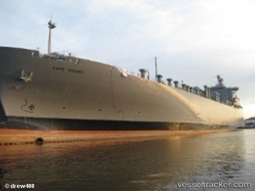
 Cape Ducato
Current Status
Where is the vessel?
Cape Ducato is currently in Near Charleston Heights, based on AIS data received about 14h ago.
Latest AIS update:
Current position: 32.84833° N, 79.93833° W (Near Charleston Heights)
Average speed (last 7 days): Loading…
Average speed (last 30 days): Loading…
Vessel profile: Cape Ducato is a Vehicles Carrier with dimensions 207m x 207m.
This page combines live AIS, route history, probable destination signals, nearby traffic, and port activity for practical vessel monitoring.
The current position of vessel Cape Ducato is 32.84833 lat / -79.93833 lng. Updated: 2026-05-23 00:23:35 UTCNearest reference points:
- Near Charleston
- 33 nm S of Kiawah Island
- Near Saint Andrews
Currently sailing under the flag of USA ![]()
Cape Ducato built in 1972 year
Deadweight:
23725 tDetails:
Live Vessel Cape Ducato Analytics (details, animations, etc.)
Recent AIS points (UTC):
2026-05-22 20:17:37 UTC · 32.84833, -79.93833 · SOG 0 kn · COG -1°2026-05-22 21:41:12 UTC · 32.84992, -79.93851 · SOG 0 kn · COG 55°
2026-05-22 23:02:08 UTC · 32.84988, -79.93851 · SOG 0 kn · COG 55°
2026-05-23 00:23:35 UTC · 32.84833, -79.93833 · SOG 0 kn · COG -1°