 MARIONA STAR
Current Status
Where is the vessel?
MARIONA STAR is currently in 46 nm W of Tartous, based on AIS data received about 16h ago.
Latest AIS update:
Current position: 34.78236° N, 34.92694° E (46 nm W of Tartous)
Average speed (last 7 days): Loading…
Average speed (last 30 days): Loading…
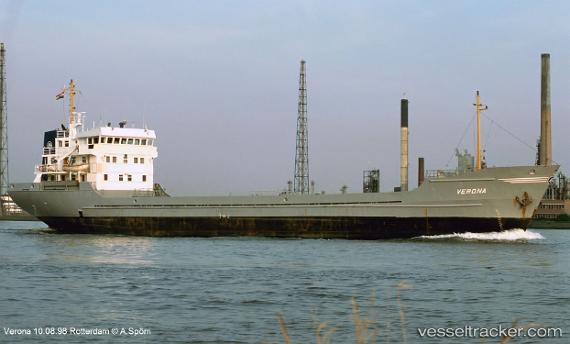
Vessel profile: MARIONA STAR is a General Cargo with dimensions m x m.
This page combines live AIS, route history, probable destination signals, nearby traffic, and port activity for practical vessel monitoring.
The current position of vessel MARIONA STAR is 34.78236 lat / 34.92694 lng. Updated: 2026-05-21 22:56:30 UTCNearest reference points:
- Near Tartous
- Near Tripoli
- Near Zouk
Currently sailing under the flag of Guinea ![]()
Details:
Live Vessel MARIONA STAR Analytics (details, animations, etc.)
Recent AIS points (UTC):
2026-05-21 19:12:30 UTC · 34.87551, 35.37859 · SOG 5.8 kn · COG 253°2026-05-21 19:32:51 UTC · 34.86657, 35.33955 · SOG 5.5 kn · COG 249°
2026-05-21 22:14:03 UTC · 34.79696, 35.01584 · SOG 6.1 kn · COG 249°
2026-05-21 22:56:30 UTC · 34.78236, 34.92694 · SOG 6.2 kn · COG 256°