 vesseltracker.com
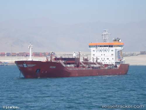
 HUEMUL
Current Status
Where is the vessel?
HUEMUL is currently in 25 nm W of Taltal, based on AIS data received about 14h ago.
Latest AIS update:
Current position: 25.37492° S, 70.94906° W (25 nm W of Taltal)
Average speed (last 7 days): Loading…
Average speed (last 30 days): Loading…
Vessel profile: HUEMUL is a Oil/Chemical Tanker with dimensions m x m.
This page combines live AIS, route history, probable destination signals, nearby traffic, and port activity for practical vessel monitoring.
The current position of vessel HUEMUL is -25.37492 lat / -70.94906 lng. Updated: 2026-05-18 07:04:01 UTCNearest reference points:
- 17 nm W of Puerto Angamos
Details:
Live Vessel HUEMUL Analytics (details, animations, etc.)
Recent AIS points (UTC):
2026-05-18 04:24:00 UTC · -25.89167, -70.84333 · SOG 11 kn · COG -1°2026-05-18 04:39:03 UTC · -25.84333, -70.85667 · SOG 11 kn · COG -1°
2026-05-18 06:03:01 UTC · -25.57500, -70.92667 · SOG 11 kn · COG -1°
2026-05-18 07:04:01 UTC · -25.37492, -70.94906 · SOG 12 kn · COG 356°