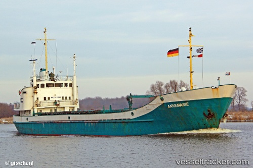
Angelica
Current StatusWhere is the vessel?
Angelica is currently in 97 nm SE of San Andrés, based on AIS data received about 14h ago.
Latest AIS update:
Current position: 11.87833° N, 80.21000° W (97 nm SE of San Andrés)
Average speed (last 7 days): Loading…
Average speed (last 30 days): Loading…
Vessel profile: Angelica is a General Cargo Ship with dimensions 10m x 68m.
This page combines live AIS, route history, probable destination signals, nearby traffic, and port activity for practical vessel monitoring.
The current position of vessel Angelica is 11.87833 lat / -80.21000 lng. Updated: 2026-05-22 06:15:02 UTCNearest reference points:
- Near Colon
Details:
Live Vessel Angelica Analytics (details, animations, etc.)
Recent AIS points (UTC):
2026-05-22 02:09:04 UTC · 11.65833, -79.69500 · SOG 8 kn · COG -1°2026-05-22 03:39:03 UTC · 11.74167, -79.88167 · SOG 7 kn · COG -1°
2026-05-22 04:40:41 UTC · 11.80076, -80.01045 · SOG 8 kn · COG -1°
2026-05-22 06:15:02 UTC · 11.87833, -80.21000 · SOG 8 kn · COG -1°