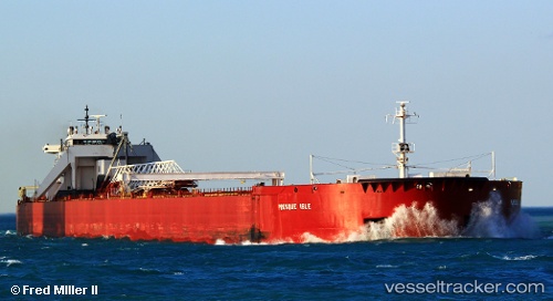
 PRESQUE ISLE
Current Status
Where is the vessel?
PRESQUE ISLE is currently in 18 nm N of ASHTABULA, based on AIS data received about 15h ago.
Latest AIS update:
Current position: 42.20167° N, 80.90667° W (18 nm N of ASHTABULA)
Average speed (last 7 days): Loading…
Average speed (last 30 days): Loading…
Vessel profile: PRESQUE ISLE is a Articulated Pusher Tug with dimensions m x m.
This page combines live AIS, route history, probable destination signals, nearby traffic, and port activity for practical vessel monitoring.
The current position of vessel PRESQUE ISLE is 42.20167 lat / -80.90667 lng. Updated: 2026-05-19 11:03:49 UTCNearest reference points:
- Near Linndale
- Near Hannon
- Near Scudder
Currently sailing under the flag of United States ![]()
Details:
Live Vessel PRESQUE ISLE Analytics (details, animations, etc.)
Recent AIS points (UTC):
2026-05-19 08:03:51 UTC · 42.00833, -81.66833 · SOG 11 kn · COG -1°2026-05-19 09:57:10 UTC · 42.13055, -81.18928 · SOG 11.9 kn · COG 70°
2026-05-19 10:40:34 UTC · 42.17676, -81.00584 · SOG 12 kn · COG 70°
2026-05-19 11:03:49 UTC · 42.20167, -80.90667 · SOG 12 kn · COG -1°