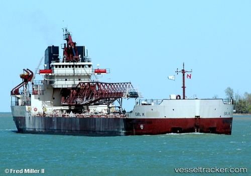
Manitowoc
Current StatusWhere is the vessel?
Manitowoc is currently in 27 nm NE of Ossineke, based on AIS data received about 14h ago.
Latest AIS update:
Current position: 45.24309° N, 83.01645° W (27 nm NE of Ossineke)
Average speed (last 7 days): Loading…
Average speed (last 30 days): Loading…
Vessel profile: Manitowoc is a Self Discharging Bulk Carrier with dimensions 23m x 192m.
This page combines live AIS, route history, probable destination signals, nearby traffic, and port activity for practical vessel monitoring.
The current position of vessel Manitowoc is 45.24309 lat / -83.01645 lng. Updated: 2026-05-18 22:29:16 UTCNearest reference points:
- Near Meldrum
- Near Mackinaw City
- Near Fort Gratiot
Details:
Live Vessel Manitowoc Analytics (details, animations, etc.)
Recent AIS points (UTC):
2026-05-18 19:39:54 UTC · 45.42360, -83.73694 · SOG 11.5 kn · COG 80°2026-05-18 20:06:03 UTC · 45.41995, -83.61383 · SOG 12 kn · COG 95°
2026-05-18 21:54:57 UTC · 45.33875, -83.10944 · SOG 12 kn · COG 143°
2026-05-18 22:29:16 UTC · 45.24309, -83.01645 · SOG 12.2 kn · COG 151°