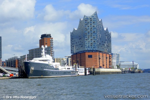
 AQUA LARES
Current Status
Where is the vessel?
AQUA LARES is currently in 83 nm SE of Nedroma, based on AIS data received about 14h ago.
Latest AIS update:
Current position: 34.26167° N, 13.23833° W (83 nm SE of Nedroma)
Average speed (last 7 days): Loading…
Average speed (last 30 days): Loading…
Vessel profile: AQUA LARES is a Yacht with dimensions m x m.
This page combines live AIS, route history, probable destination signals, nearby traffic, and port activity for practical vessel monitoring.
The current position of vessel AQUA LARES is 34.26167 lat / -13.23833 lng. Updated: 2026-05-18 23:51:34 UTCNearest reference points:
- 104 nm W of Jarjis
- 110 nm E of Nedroma
- 115 nm E of Nedroma
Currently sailing under the flag of Marshall Islands ![]()
Details:
Live Vessel AQUA LARES Analytics (details, animations, etc.)
Recent AIS points (UTC):
2026-05-18 19:27:34 UTC · 33.48333, -13.51167 · SOG 10 kn · COG -1°2026-05-18 21:24:33 UTC · 33.82500, -13.39333 · SOG 10 kn · COG -1°
2026-05-18 23:08:31 UTC · 34.13239, -13.27748 · SOG 11.1 kn · COG 13°
2026-05-18 23:51:34 UTC · 34.26167, -13.23833 · SOG 11 kn · COG -1°