 LUTHER
Current Status
Where is the vessel?
LUTHER is currently in 15 nm W of Point Conception, based on AIS data received about 14h ago.
Latest AIS update:
Current position: 34.44997° N, 120.76412° W (15 nm W of Point Conception)
Average speed (last 7 days): Loading…
Average speed (last 30 days): Loading…
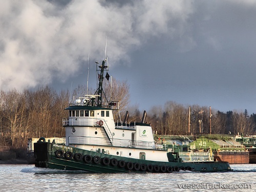
Vessel profile: LUTHER is a Tug with dimensions m x m.
This page combines live AIS, route history, probable destination signals, nearby traffic, and port activity for practical vessel monitoring.
The current position of vessel LUTHER is 34.44997 lat / -120.76412 lng. Updated: 2026-05-19 16:42:00 UTCNearest reference points:
- Near Santa Barbara
- Near VENTURA
- Near CHANNEL ISLANDS
Currently sailing under the flag of United States ![]()
Details:
Live Vessel LUTHER Analytics (details, animations, etc.)
Recent AIS points (UTC):
2026-05-19 13:19:41 UTC · 34.93093, -120.87022 · SOG 8.8 kn · COG 180°2026-05-19 14:09:09 UTC · 34.80958, -120.85226 · SOG 9.4 kn · COG 177°
2026-05-19 16:24:50 UTC · 34.49011, -120.77919 · SOG 9 kn · COG 168°
2026-05-19 16:42:00 UTC · 34.44997, -120.76412 · SOG 9.4 kn · COG 145°