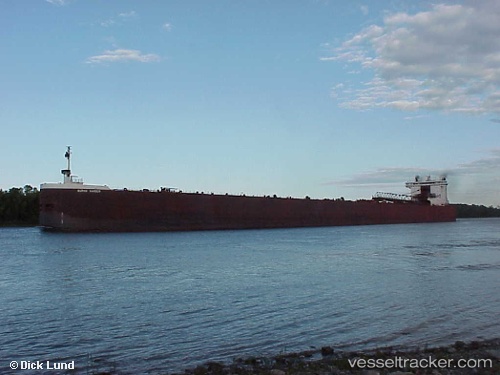
 BURNS HARBOR
Current Status
Where is the vessel?
BURNS HARBOR is currently in 26 nm S of McCanna, based on AIS data received about 14h ago.
Latest AIS update:
Current position: 47.56803° N, 87.79594° W (26 nm S of McCanna)
Average speed (last 7 days): Loading…
Average speed (last 30 days): Loading…
Vessel profile: BURNS HARBOR is a Self Discharging Bulk Carrier with dimensions m x m.
This page combines live AIS, route history, probable destination signals, nearby traffic, and port activity for practical vessel monitoring.
The current position of vessel BURNS HARBOR is 47.56803 lat / -87.79594 lng. Updated: 2026-05-19 19:57:05 UTCCurrently sailing under the flag of United States ![]()
Details:
Live Vessel BURNS HARBOR Analytics (details, animations, etc.)
Recent AIS points (UTC):
2026-05-19 16:05:25 UTC · 47.50827, -88.93257 · SOG 12.3 kn · COG 76°2026-05-19 16:12:54 UTC · 47.51376, -88.89569 · SOG 12.2 kn · COG 76°
2026-05-19 17:48:25 UTC · 47.58395, -88.42818 · SOG 12.2 kn · COG 77°
2026-05-19 19:57:05 UTC · 47.56803, -87.79594 · SOG 12.2 kn · COG 101°