 AKDENIZ
Current Status
Where is the vessel?
AKDENIZ is currently in 86 nm SW of António Enes, based on AIS data received about 14h ago.
Latest AIS update:
Current position: 17.06016° S, 38.68417° E (86 nm SW of António Enes)
Average speed (last 7 days): Loading…
Average speed (last 30 days): Loading…
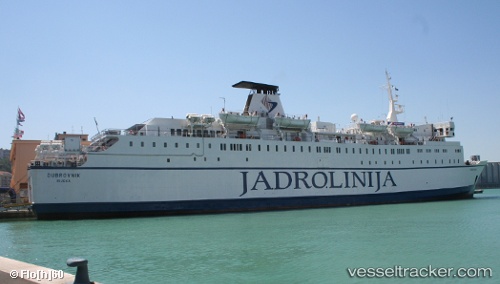
Vessel profile: AKDENIZ is a Ro-Ro/Passenger Ship with dimensions m x m.
This page combines live AIS, route history, probable destination signals, nearby traffic, and port activity for practical vessel monitoring.
The current position of vessel AKDENIZ is -17.06016 lat / 38.68417 lng. Updated: 2026-05-19 05:42:31 UTCNearest reference points:
- 95 nm E of Quelimane
- 62 nm SW of Quelimane
Currently sailing under the flag of Tanzania ![]()
Details:
Live Vessel AKDENIZ Analytics (details, animations, etc.)
Recent AIS points (UTC):
2026-05-19 01:34:34 UTC · -17.11948, 38.70702 · SOG 0.4 kn · COG 165°2026-05-19 03:48:10 UTC · -17.05984, 38.68410 · SOG 0.3 kn · COG 142°
2026-05-19 04:29:24 UTC · -17.06007, 38.68414 · SOG 0 kn · COG 139°
2026-05-19 05:42:31 UTC · -17.06016, 38.68417 · SOG 0 kn · COG 137°