 RIO SOLIS IV
Current Status
Where is the vessel?
RIO SOLIS IV is currently in Near Montevideo, based on AIS data received about 14h ago.
Latest AIS update:
Current position: 34.89866° S, 56.19895° W (Near Montevideo)
Average speed (last 7 days): Loading…
Average speed (last 30 days): Loading…
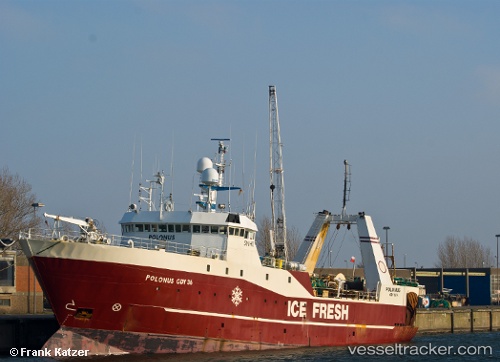
Vessel profile: RIO SOLIS IV is a Trawler with dimensions m x m.
This page combines live AIS, route history, probable destination signals, nearby traffic, and port activity for practical vessel monitoring.
The current position of vessel RIO SOLIS IV is -34.89866 lat / -56.19895 lng. Updated: 2026-06-08 22:17:59 UTCNearest reference points:
- 16 nm N of Cabo San Antonio
- 12 nm S of Piriápolis
- Near JUAN LACAZE
Details:
Live Vessel RIO SOLIS IV Analytics (details, animations, etc.)
Recent AIS points (UTC):
2026-06-08 19:53:15 UTC · -34.89870, -56.19895 · SOG 0 kn · COG -1°2026-06-08 20:04:29 UTC · -34.89863, -56.19895 · SOG 0 kn · COG -1°
2026-06-08 21:41:24 UTC · -34.89869, -56.19896 · SOG 0 kn · COG -1°
2026-06-08 22:17:59 UTC · -34.89866, -56.19895 · SOG 0 kn · COG -1°