 Marie H
Current Status
Where is the vessel?
Marie H is currently in 95 nm W of Kaguyak, based on AIS data received about 15h ago.
Latest AIS update:
Current position: 56.63976° N, 156.63564° W (95 nm W of Kaguyak)
Average speed (last 7 days): Loading…
Average speed (last 30 days): Loading…
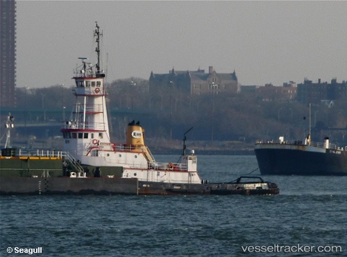
Vessel profile: Marie H is a Tug with dimensions 38m x 10m.
This page combines live AIS, route history, probable destination signals, nearby traffic, and port activity for practical vessel monitoring.
The current position of vessel Marie H is 56.63976 lat / -156.63564 lng. Updated: 2026-05-20 10:00:44 UTCCurrently sailing under the flag of USA ![]()
Marie H built in 1978 year
Details:
Live Vessel Marie H Analytics (details, animations, etc.)
Recent AIS points (UTC):
2026-05-20 07:42:03 UTC · 56.86217, -156.27896 · SOG 8.2 kn · COG 217°2026-05-20 07:47:01 UTC · 56.85372, -156.29245 · SOG 8 kn · COG 217°
2026-05-20 09:26:47 UTC · 56.69167, -156.55333 · SOG 7 kn · COG -1°
2026-05-20 10:00:44 UTC · 56.63976, -156.63564 · SOG 7 kn · COG 219°