 MYKONOS III
Current Status
Where is the vessel?
MYKONOS III is currently in 17 nm S of Folégandros, based on AIS data received about 16h ago.
Latest AIS update:
Current position: 36.34187° N, 24.93855° E (17 nm S of Folégandros)
Average speed (last 7 days): Loading…
Average speed (last 30 days): Loading…
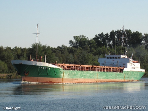
Vessel profile: MYKONOS III is a General Cargo with dimensions m x m.
This page combines live AIS, route history, probable destination signals, nearby traffic, and port activity for practical vessel monitoring.
The current position of vessel MYKONOS III is 36.34187 lat / 24.93855 lng. Updated: 2026-05-21 13:53:30 UTCNearest reference points:
- Near PISO LIVADI
- 17 nm W of Milos (Adamas)
- Near Iraklion
Currently sailing under the flag of Greece ![]()
Details:
Live Vessel MYKONOS III Analytics (details, animations, etc.)
Recent AIS points (UTC):
2026-05-21 10:50:01 UTC · 35.95305, 24.76282 · SOG 7.6 kn · COG 21°2026-05-21 11:25:30 UTC · 36.02146, 24.80153 · SOG 7.6 kn · COG 20°
2026-05-21 13:07:59 UTC · 36.24167, 24.90222 · SOG 8.2 kn · COG 20°
2026-05-21 13:53:30 UTC · 36.34187, 24.93855 · SOG 8.1 kn · COG 14°