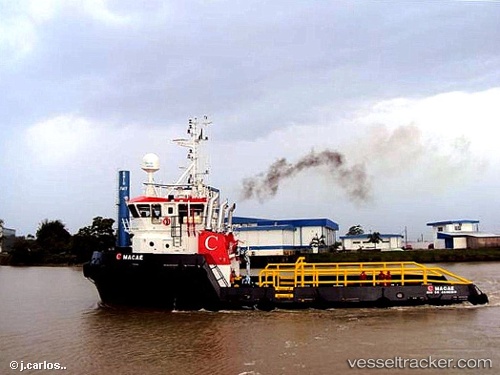
 MACAE
MACAE
Current Status
Where is the vessel?
MACAE is currently in 83 nm SE of Sao Sebastiao, based on AIS data received about 15h ago.
Latest AIS update:
Current position: 24.98129° S, 44.55880° W (83 nm SE of Sao Sebastiao)
Average speed (last 7 days): Loading…
Average speed (last 30 days): Loading…
Vessel profile: MACAE is a Offshore Supply Ship with dimensions m x m.
This page combines live AIS, route history, probable destination signals, nearby traffic, and port activity for practical vessel monitoring.
The current position of vessel MACAE is -24.98129 lat / -44.55880 lng. Updated: 2026-05-19 23:52:56 UTCNearest reference points:
- 56 nm S of Sao Sebastiao
- 61 nm S of TEBIG
- 30 nm SE of Guarujá
Details:
Live Vessel MACAE Analytics (details, animations, etc.)
Recent AIS points (UTC):
2026-05-19 19:46:23 UTC · -24.93423, -44.49919 · SOG 3.3 kn · COG 54°2026-05-19 21:29:21 UTC · -24.91732, -44.46458 · SOG 4.3 kn · COG 236°
2026-05-19 22:57:51 UTC · -24.98610, -44.54719 · SOG 3.5 kn · COG 233°
2026-05-19 23:52:56 UTC · -24.98129, -44.55880 · SOG 2.6 kn · COG 0°