 COE KAETHE
Current Status
Where is the vessel?
COE KAETHE is currently in 25 nm NW of Mölle, based on AIS data received about 14h ago.
Latest AIS update:
Current position: 56.56265° N, 11.93525° E (25 nm NW of Mölle)
Average speed (last 7 days): Loading…
Average speed (last 30 days): Loading…
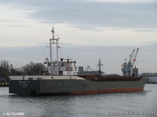
Vessel profile: COE KAETHE is a General Cargo with dimensions m x m.
This page combines live AIS, route history, probable destination signals, nearby traffic, and port activity for practical vessel monitoring.
The current position of vessel COE KAETHE is 56.56265 lat / 11.93525 lng. Updated: 2026-05-19 19:31:58 UTCNearest reference points:
- 11 nm NW of Tisvilde
- Near HUNDESTED
- Near Varberg
Currently sailing under the flag of Panama ![]()
Details:
Live Vessel COE KAETHE Analytics (details, animations, etc.)
Recent AIS points (UTC):
2026-05-19 16:20:24 UTC · 56.96989, 11.74223 · SOG 7.8 kn · COG 146°2026-05-19 17:22:56 UTC · 56.84035, 11.82210 · SOG 7.8 kn · COG 163°
2026-05-19 19:27:55 UTC · 56.57157, 11.93287 · SOG 8.1 kn · COG 171°
2026-05-19 19:31:58 UTC · 56.56265, 11.93525 · SOG 8.1 kn · COG 171°