 vesseltracker.com
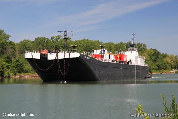
 Calusa Coast
Current Status
Where is the vessel?
Calusa Coast is currently in Near Norfolk, based on AIS data received about 14h ago.
Latest AIS update:
Current position: 36.83667° N, 76.27667° W (Near Norfolk)
Average speed (last 7 days): Loading…
Average speed (last 30 days): Loading…
Vessel profile: Calusa Coast is a Tug with dimensions 32m x 32m.
This page combines live AIS, route history, probable destination signals, nearby traffic, and port activity for practical vessel monitoring.
The current position of vessel Calusa Coast is 36.83667 lat / -76.27667 lng. Updated: 2026-05-18 09:58:19 UTCNearest reference points:
- Near Norfolk
- Near Fentress
- Near Little Creek
Currently sailing under the flag of USA ![]()
Calusa Coast built in 1978 year
Details:
Live Vessel Calusa Coast Analytics (details, animations, etc.)
Recent AIS points (UTC):
2026-05-18 06:03:46 UTC · 36.83747, -76.27797 · SOG 0 kn · COG 81°2026-05-18 07:01:20 UTC · 36.83667, -76.27667 · SOG 0 kn · COG -1°
2026-05-18 08:18:39 UTC · 36.83747, -76.27793 · SOG 0 kn · COG 80°
2026-05-18 09:58:19 UTC · 36.83667, -76.27667 · SOG 0 kn · COG -1°