 CANASTA
Current Status
Where is the vessel?
CANASTA is currently in Near Dolmøy, based on AIS data received about 15h ago.
Latest AIS update:
Current position: 63.63766° N, 8.80634° E (Near Dolmøy)
Average speed (last 7 days): Loading…
Average speed (last 30 days): Loading…
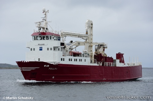
Vessel profile: CANASTA is a General Cargo with dimensions m x m.
This page combines live AIS, route history, probable destination signals, nearby traffic, and port activity for practical vessel monitoring.
The current position of vessel CANASTA is 63.63766 lat / 8.80634 lng. Updated: 2026-05-20 17:36:26 UTCNearest reference points:
- Near Dolmøy
- Near Siholmen
- Near Dyrvik
Currently sailing under the flag of Norway ![]()
Details:
Live Vessel CANASTA Analytics (details, animations, etc.)
Recent AIS points (UTC):
2026-05-20 13:48:25 UTC · 63.63763, 8.80637 · SOG 0 kn · COG 209°2026-05-20 16:24:21 UTC · 63.63762, 8.80640 · SOG 0 kn · COG 208°
2026-05-20 16:27:21 UTC · 63.63763, 8.80637 · SOG 0 kn · COG 209°
2026-05-20 17:36:26 UTC · 63.63766, 8.80634 · SOG 0 kn · COG 207°