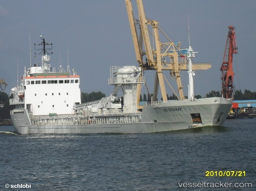
 TAMNON
Current Status
Where is the vessel?
TAMNON is currently in 24 nm N of AL ARISH, based on AIS data received about 14h ago.
Latest AIS update:
Current position: 31.54745° N, 33.87742° E (24 nm N of AL ARISH)
Average speed (last 7 days): Loading…
Average speed (last 30 days): Loading…
Vessel profile: TAMNON is a General Cargo with dimensions m x m.
This page combines live AIS, route history, probable destination signals, nearby traffic, and port activity for practical vessel monitoring.
The current position of vessel TAMNON is 31.54745 lat / 33.87742 lng. Updated: 2026-05-21 19:33:18 UTCNearest reference points:
- Near AL ARISH
- 17 nm E of Atakka Dry Port
- 24 nm SW of Atakka Dry Port
Currently sailing under the flag of Saint Kitts and Nevis ![]()
Details:
Live Vessel TAMNON Analytics (details, animations, etc.)
Recent AIS points (UTC):
2026-05-21 16:18:16 UTC · 31.84566, 34.11922 · SOG 5.9 kn · COG 253°2026-05-21 17:48:18 UTC · 31.75078, 33.96442 · SOG 6.8 kn · COG 220°
2026-05-21 19:13:17 UTC · 31.59011, 33.88533 · SOG 7.6 kn · COG 193°
2026-05-21 19:33:18 UTC · 31.54745, 33.87742 · SOG 7.7 kn · COG 189°