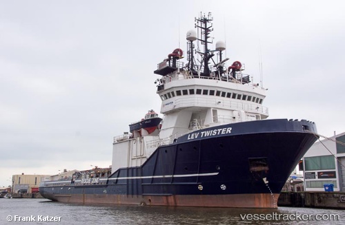
 OCEAN KING
Current Status
Where is the vessel?
OCEAN KING is currently in 13 nm S of Malacca, based on AIS data received about 15h ago.
Latest AIS update:
Current position: 1.95587° N, 102.28429° E (13 nm S of Malacca)
Average speed (last 7 days): Loading…
Average speed (last 30 days): Loading…
Vessel profile: OCEAN KING is a Anchor Handling Vessel with dimensions m x m.
This page combines live AIS, route history, probable destination signals, nearby traffic, and port activity for practical vessel monitoring.
The current position of vessel OCEAN KING is 1.95587 lat / 102.28429 lng. Updated: 2026-05-19 07:34:20 UTCNearest reference points:
- Near Malacca
- Near MELAKA
- Near SUNGAI UDANG
Currently sailing under the flag of Norway ![]()
Details:
Live Vessel OCEAN KING Analytics (details, animations, etc.)
Recent AIS points (UTC):
2026-05-19 04:08:40 UTC · 1.63293, 102.87168 · SOG 10.8 kn · COG 303°2026-05-19 05:35:00 UTC · 1.75863, 102.63607 · SOG 11.7 kn · COG 304°
2026-05-19 07:24:15 UTC · 1.94086, 102.31607 · SOG 12.4 kn · COG 294°
2026-05-19 07:34:20 UTC · 1.95587, 102.28429 · SOG 12.3 kn · COG 294°