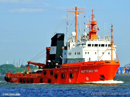
 Sima
Sima
Current Status
Where is the vessel?
Sima is currently in Near Maitresse Island, based on AIS data received about 14h ago.
Latest AIS update:
Current position: 49.05171° N, 2.15068° W (Near Maitresse Island)
Average speed (last 7 days): Loading…
Average speed (last 30 days): Loading…
Vessel profile: Sima is a Offshore Tug Supply Ship with dimensions 80m x 16m.
This page combines live AIS, route history, probable destination signals, nearby traffic, and port activity for practical vessel monitoring.
The current position of vessel Sima is 49.05171 lat / -2.15068 lng. Updated: 2026-05-20 01:56:00 UTCNearest reference points:
- Near SAINT CAST LE GUIDO
- Near Saint-Malo
- Near SAINT MALO
Currently sailing under the flag of Denmark ![]()
Sima built in 1990 year
Deadweight:
1393 tDetails:
Live Vessel Sima Analytics (details, animations, etc.)
Recent AIS points (UTC):
2026-05-19 23:07:01 UTC · 49.04655, -2.27992 · SOG 2.7 kn · COG 90°2026-05-20 00:10:41 UTC · 49.05129, -2.21855 · SOG 1.3 kn · COG 98°
2026-05-20 01:14:30 UTC · 49.04731, -2.17702 · SOG 1.7 kn · COG 87°
2026-05-20 01:56:00 UTC · 49.05171, -2.15068 · SOG 1.5 kn · COG 89°