 ARTEMIS
Current Status
Where is the vessel?
ARTEMIS is currently in 13 nm NE of Karystos, based on AIS data received about 14h ago.
Latest AIS update:
Current position: 38.17408° N, 24.59867° E (13 nm NE of Karystos)
Average speed (last 7 days): Loading…
Average speed (last 30 days): Loading…
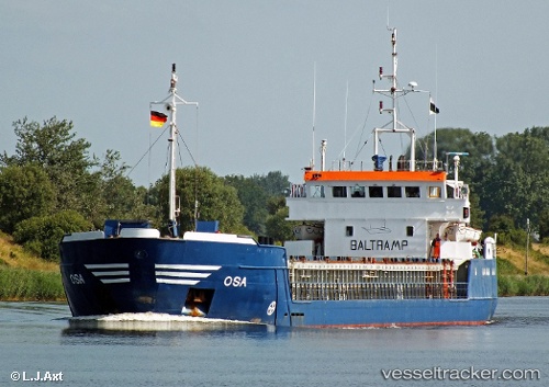
Vessel profile: ARTEMIS is a General Cargo with dimensions m x m.
This page combines live AIS, route history, probable destination signals, nearby traffic, and port activity for practical vessel monitoring.
The current position of vessel ARTEMIS is 38.17408 lat / 24.59867 lng. Updated: 2026-05-20 04:27:38 UTCNearest reference points:
- Near Agia Marina Grammatikou Attikis
- Near MILAKI
- Near LAVRIO
Currently sailing under the flag of Greece ![]()
Details:
Live Vessel ARTEMIS Analytics (details, animations, etc.)
Recent AIS points (UTC):
2026-05-20 01:23:08 UTC · 37.90890, 24.52412 · SOG 7.1 kn · COG 43°2026-05-20 01:50:09 UTC · 37.95598, 24.55972 · SOG 7.1 kn · COG 34°
2026-05-20 04:24:29 UTC · 38.17220, 24.60242 · SOG 4.6 kn · COG 319°
2026-05-20 04:27:38 UTC · 38.17408, 24.59867 · SOG 3.9 kn · COG 304°