 vesseltracker.com
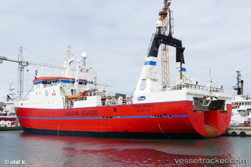
 VILKAS
Current Status
Where is the vessel?
VILKAS is currently in 97 nm SE of Hopen, based on AIS data received about 14h ago.
Latest AIS update:
Current position: 75.81300° N, 31.16316° E (97 nm SE of Hopen)
Average speed (last 7 days): Loading…
Average speed (last 30 days): Loading…
Vessel profile: VILKAS is a Trawler with dimensions m x m.
This page combines live AIS, route history, probable destination signals, nearby traffic, and port activity for practical vessel monitoring.
The current position of vessel VILKAS is 75.81300 lat / 31.16316 lng. Updated: 2026-05-18 10:33:58 UTCCurrently sailing under the flag of Lithuania ![]()
Details:
Live Vessel VILKAS Analytics (details, animations, etc.)
Recent AIS points (UTC):
2026-05-18 07:17:57 UTC · 75.75495, 31.50578 · SOG 2.1 kn · COG 325°2026-05-18 07:50:01 UTC · 75.76531, 31.43855 · SOG 2.1 kn · COG 326°
2026-05-18 09:43:58 UTC · 75.81337, 31.24433 · SOG 2.1 kn · COG 331°
2026-05-18 10:33:58 UTC · 75.81300, 31.16316 · SOG 2.4 kn · COG 162°