 AL RAHMA
Current Status
Where is the vessel?
AL RAHMA is currently in 23 nm W of Nouakchott, based on AIS data received about 15h ago.
Latest AIS update:
Current position: 18.16833° N, 16.40500° W (23 nm W of Nouakchott)
Average speed (last 7 days): Loading…
Average speed (last 30 days): Loading…
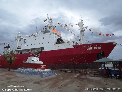
Vessel profile: AL RAHMA is a Factory Trawler with dimensions m x m.
This page combines live AIS, route history, probable destination signals, nearby traffic, and port activity for practical vessel monitoring.
The current position of vessel AL RAHMA is 18.16833 lat / -16.40500 lng. Updated: 2026-05-20 01:56:21 UTCNearest reference points:
- 90 nm W of Nouakchott
- 96 nm NW of Nouakchott
- 100 nm NW of Saint Louis
Currently sailing under the flag of Oman ![]()
Details:
Live Vessel AL RAHMA Analytics (details, animations, etc.)
Recent AIS points (UTC):
2026-05-19 23:05:54 UTC · 18.41018, -16.48709 · SOG 5 kn · COG 201°2026-05-20 00:10:54 UTC · 18.33673, -16.43595 · SOG 11.2 kn · COG 179°
2026-05-20 01:16:14 UTC · 18.22048, -16.41655 · SOG 5.3 kn · COG 159°
2026-05-20 01:56:21 UTC · 18.16833, -16.40500 · SOG 5 kn · COG -1°