 CHANG TENG
Current Status
Where is the vessel?
CHANG TENG is currently in 21 nm N of Longyan Pt, based on AIS data received about 14h ago.
Latest AIS update:
Current position: 37.77553° N, 122.73170° E (21 nm N of Longyan Pt)
Average speed (last 7 days): Loading…
Average speed (last 30 days): Loading…
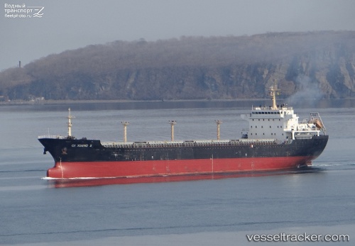
Vessel profile: CHANG TENG is a Bulk Carrier with dimensions m x m.
This page combines live AIS, route history, probable destination signals, nearby traffic, and port activity for practical vessel monitoring.
The current position of vessel CHANG TENG is 37.77553 lat / 122.73170 lng. Updated: 2026-05-19 13:04:41 UTCNearest reference points:
- 15 nm N of Longyan Pt
- 13 nm N of Longyan Pt
- 16 nm NE of Longyan Pt
Currently sailing under the flag of Panama ![]()
Details:
Live Vessel CHANG TENG Analytics (details, animations, etc.)
Recent AIS points (UTC):
2026-05-19 09:35:09 UTC · 37.37288, 123.34900 · SOG 10.7 kn · COG 324°2026-05-19 11:15:09 UTC · 37.60263, 123.09980 · SOG 11 kn · COG 299°
2026-05-19 11:27:30 UTC · 37.62340, 123.05963 · SOG 11.1 kn · COG 299°
2026-05-19 13:04:41 UTC · 37.77553, 122.73170 · SOG 11 kn · COG 298°