 NOBLE RESOLVE
Current Status
Where is the vessel?
NOBLE RESOLVE is currently in 11 nm E of VINAROS, based on AIS data received about 16h ago.
Latest AIS update:
Current position: 40.39434° N, 0.70826° E (11 nm E of VINAROS)
Average speed (last 7 days): Loading…
Average speed (last 30 days): Loading…
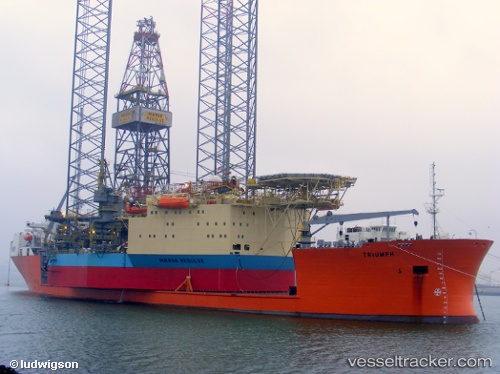
Vessel profile: NOBLE RESOLVE is a Drilling Jack Up with dimensions m x m.
This page combines live AIS, route history, probable destination signals, nearby traffic, and port activity for practical vessel monitoring.
The current position of vessel NOBLE RESOLVE is 40.39434 lat / 0.70826 lng. Updated: 2026-05-20 19:01:27 UTCNearest reference points:
- Near San Carlos de la Rápita
- Near OROPESA DEL MAR
- 43 nm SE of PENISCOLA
Currently sailing under the flag of Marshall Islands ![]()
Details:
Live Vessel NOBLE RESOLVE Analytics (details, animations, etc.)
Recent AIS points (UTC):
2026-05-20 16:22:21 UTC · 40.39435, 0.70826 · SOG 0 kn · COG 239°2026-05-20 16:23:13 UTC · 40.39333, 0.70667 · SOG 0 kn · COG -1°
2026-05-20 17:37:26 UTC · 40.39435, 0.70826 · SOG 0 kn · COG 236°
2026-05-20 19:01:27 UTC · 40.39434, 0.70826 · SOG 0 kn · COG 240°