 HAVBRIS
Current Status
Where is the vessel?
HAVBRIS is currently in Near Langevåg - Sula, based on AIS data received about 14h ago.
Latest AIS update:
Current position: 62.43629° N, 6.24134° E (Near Langevåg - Sula)
Average speed (last 7 days): Loading…
Average speed (last 30 days): Loading…
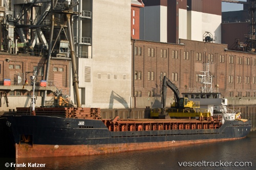
Vessel profile: HAVBRIS is a General Cargo with dimensions m x m.
This page combines live AIS, route history, probable destination signals, nearby traffic, and port activity for practical vessel monitoring.
The current position of vessel HAVBRIS is 62.43629 lat / 6.24134 lng. Updated: 2026-05-21 09:47:56 UTCNearest reference points:
- Near Fiskarstrand
- Near Alesund
- Near SPJELKAVIK
Currently sailing under the flag of Norway ![]()
Details:
Live Vessel HAVBRIS Analytics (details, animations, etc.)
Recent AIS points (UTC):
2026-05-21 05:56:52 UTC · 62.43628, 6.24134 · SOG 0 kn · COG 76°2026-05-21 07:08:57 UTC · 62.43630, 6.24134 · SOG 0 kn · COG 76°
2026-05-21 07:47:56 UTC · 62.43625, 6.24134 · SOG 0 kn · COG 76°
2026-05-21 09:47:56 UTC · 62.43629, 6.24134 · SOG 0 kn · COG 76°