 FRIO OCEANIC
Current Status
Where is the vessel?
FRIO OCEANIC is currently in 87 nm NW of Ad Dakhla, based on AIS data received about 15h ago.
Latest AIS update:
Current position: 24.96922° N, 16.70942° W (87 nm NW of Ad Dakhla)
Average speed (last 7 days): Loading…
Average speed (last 30 days): Loading…
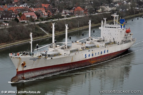
Vessel profile: FRIO OCEANIC is a Reefer with dimensions m x m.
This page combines live AIS, route history, probable destination signals, nearby traffic, and port activity for practical vessel monitoring.
The current position of vessel FRIO OCEANIC is 24.96922 lat / -16.70942 lng. Updated: 2026-05-20 01:51:01 UTCNearest reference points:
- 68 nm NW of Ad Dakhla
- 110 nm NE of Las Brujas
- Near DAKHLA
Currently sailing under the flag of Bahamas ![]()
Details:
Live Vessel FRIO OCEANIC Analytics (details, animations, etc.)
Recent AIS points (UTC):
2026-05-19 23:07:20 UTC · 25.59535, -16.38827 · SOG 14.8 kn · COG 200°2026-05-20 00:11:00 UTC · 25.35006, -16.51743 · SOG 15.4 kn · COG 207°
2026-05-20 01:13:55 UTC · 25.10838, -16.63834 · SOG 14.7 kn · COG 205°
2026-05-20 01:51:01 UTC · 24.96922, -16.70942 · SOG 14.9 kn · COG 205°