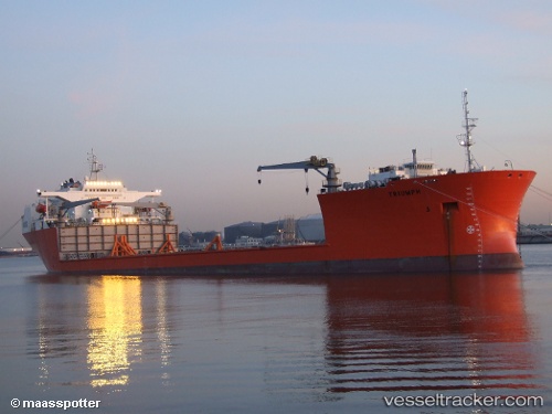
 TRIUMPH
Current Status
Where is the vessel?
TRIUMPH is currently in 64 nm SE of NANTUCKET, based on AIS data received about 14h ago.
Latest AIS update:
Current position: 40.43239° N, 69.24041° W (64 nm SE of NANTUCKET)
Average speed (last 7 days): Loading…
Average speed (last 30 days): Loading…
Vessel profile: TRIUMPH is a Heavy Lift Vessel with dimensions m x m.
This page combines live AIS, route history, probable destination signals, nearby traffic, and port activity for practical vessel monitoring.
The current position of vessel TRIUMPH is 40.43239 lat / -69.24041 lng. Updated: 2026-05-22 10:37:17 UTCNearest reference points:
- 28 nm SE of East Harwich
- 19 nm S of Chilmark
- Near South Yarmouth
Currently sailing under the flag of Malta ![]()
Details:
Live Vessel TRIUMPH Analytics (details, animations, etc.)
Recent AIS points (UTC):
2026-05-22 07:07:57 UTC · 40.41999, -69.93524 · SOG 9.3 kn · COG 89°2026-05-22 08:10:48 UTC · 40.42517, -69.72403 · SOG 9.1 kn · COG 87°
2026-05-22 10:13:57 UTC · 40.43058, -69.31424 · SOG 8.5 kn · COG 82°
2026-05-22 10:37:17 UTC · 40.43239, -69.24041 · SOG 8.6 kn · COG 82°