 SNAEFELL RIVER
Current Status
Where is the vessel?
SNAEFELL RIVER is currently in Near Ramsey, based on AIS data received about 15h ago.
Latest AIS update:
Current position: 54.32601° N, 4.36282° W (Near Ramsey)
Average speed (last 7 days): Loading…
Average speed (last 30 days): Loading…
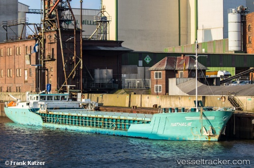
Vessel profile: SNAEFELL RIVER is a General Cargo with dimensions m x m.
This page combines live AIS, route history, probable destination signals, nearby traffic, and port activity for practical vessel monitoring.
The current position of vessel SNAEFELL RIVER is 54.32601 lat / -4.36282 lng. Updated: 2026-05-18 21:25:46 UTCNearest reference points:
- Near Douglas
- Near Holyhead
- Near Girvan
Currently sailing under the flag of United Kingdom ![]()
Details:
Live Vessel SNAEFELL RIVER Analytics (details, animations, etc.)
Recent AIS points (UTC):
2026-05-18 18:00:10 UTC · 54.31871, -4.34151 · SOG 8.8 kn · COG 295°2026-05-18 19:37:48 UTC · 54.32582, -4.36309 · SOG 0 kn · COG 123°
2026-05-18 19:58:54 UTC · 54.32591, -4.36297 · SOG 0 kn · COG 138°
2026-05-18 21:25:46 UTC · 54.32601, -4.36282 · SOG 0.2 kn · COG 154°