 SANDY LANES
Current Status
Where is the vessel?
SANDY LANES is currently in 15 nm W of BOSASO, based on AIS data received about 15h ago.
Latest AIS update:
Current position: 11.36327° N, 48.93000° E (15 nm W of BOSASO)
Average speed (last 7 days): Loading…
Average speed (last 30 days): Loading…
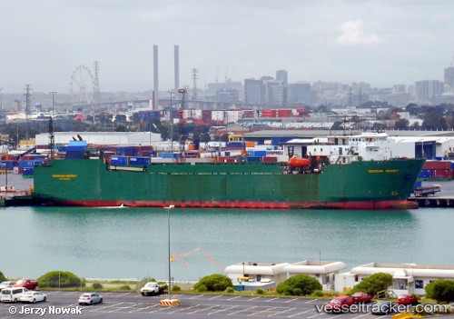
Vessel profile: SANDY LANES is a Ro-Ro Cargo with dimensions m x m.
This page combines live AIS, route history, probable destination signals, nearby traffic, and port activity for practical vessel monitoring.
The current position of vessel SANDY LANES is 11.36327 lat / 48.93000 lng. Updated: 2026-05-19 05:56:21 UTCCurrently sailing under the flag of Panama ![]()
Details:
Live Vessel SANDY LANES Analytics (details, animations, etc.)
Recent AIS points (UTC):
2026-05-19 01:55:59 UTC · 11.45545, 48.14477 · SOG 11.8 kn · COG 96°2026-05-19 04:01:39 UTC · 11.40635, 48.56220 · SOG 12.3 kn · COG 96°
2026-05-19 04:01:39 UTC · 11.40635, 48.56220 · SOG 12.3 kn · COG 96°
2026-05-19 05:56:21 UTC · 11.36327, 48.93000 · SOG 11 kn · COG 97°