 vesseltracker.com
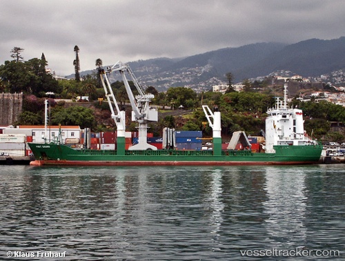
 FATIMA
Current Status
Where is the vessel?
FATIMA is currently in 10 nm N of Bangkalan, based on AIS data received about 14h ago.
Latest AIS update:
Current position: 6.85219° S, 112.76326° E (10 nm N of Bangkalan)
Average speed (last 7 days): Loading…
Average speed (last 30 days): Loading…
Vessel profile: FATIMA is a General Cargo Ship with dimensions 17m x 106m.
This page combines live AIS, route history, probable destination signals, nearby traffic, and port activity for practical vessel monitoring.
The current position of vessel FATIMA is -6.85219 lat / 112.76326 lng. Updated: 2026-05-18 14:17:54 UTCNearest reference points:
- 11 nm W of Madura Terminal
- Near Bangkalan
- 10 nm W of Poleng
Currently sailing under the flag of Indonesia ![]()
FATIMA built in 1992 year
Deadweight:
5314 tDetails:
Live Vessel FATIMA Analytics (details, animations, etc.)
Recent AIS points (UTC):
2026-05-18 10:25:20 UTC · -6.80505, 112.65529 · SOG 8.5 kn · COG 111°2026-05-18 11:31:00 UTC · -6.84851, 112.75805 · SOG 2.8 kn · COG 133°
2026-05-18 13:20:52 UTC · -6.85215, 112.76312 · SOG 0.1 kn · COG 348°
2026-05-18 14:17:54 UTC · -6.85219, 112.76326 · SOG 0.1 kn · COG 343°