 NURDOGAN
Current Status
Where is the vessel?
NURDOGAN is currently in Near CESME, based on AIS data received about 14h ago.
Latest AIS update:
Current position: 38.31200° N, 26.24729° E (Near CESME)
Average speed (last 7 days): Loading…
Average speed (last 30 days): Loading…
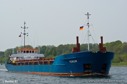
Vessel profile: NURDOGAN is a General Cargo with dimensions m x m.
This page combines live AIS, route history, probable destination signals, nearby traffic, and port activity for practical vessel monitoring.
The current position of vessel NURDOGAN is 38.31200 lat / 26.24729 lng. Updated: 2026-05-20 19:31:52 UTCNearest reference points:
- Near CESME
- 13 nm NW of Karkinagri Ikarias
- Near FOURNI
Currently sailing under the flag of Saint Vincent and the Grenadines ![]()
Details:
Live Vessel NURDOGAN Analytics (details, animations, etc.)
Recent AIS points (UTC):
2026-05-20 15:52:53 UTC · 38.31215, 26.24732 · SOG 0.6 kn · COG 358°2026-05-20 16:10:53 UTC · 38.31192, 26.24628 · SOG 0.3 kn · COG 30°
2026-05-20 18:01:52 UTC · 38.31200, 26.24702 · SOG 0.1 kn · COG 341°
2026-05-20 19:31:52 UTC · 38.31200, 26.24729 · SOG 0.1 kn · COG 327°