 SEFA
SEFA
Current Status
Where is the vessel?
SEFA is currently in Near EL DEKHEILA, based on AIS data received about 14h ago.
Latest AIS update:
Current position: 31.20180° N, 29.75997° E (Near EL DEKHEILA)
Average speed (last 7 days): Loading…
Average speed (last 30 days): Loading…
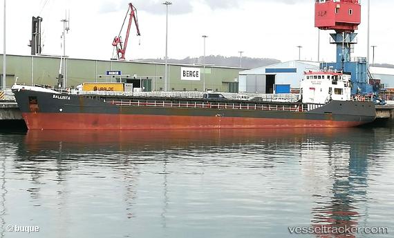
Vessel profile: SEFA is a General Cargo with dimensions m x m.
This page combines live AIS, route history, probable destination signals, nearby traffic, and port activity for practical vessel monitoring.
The current position of vessel SEFA is 31.20180 lat / 29.75997 lng. Updated: 2026-05-21 07:19:15 UTCNearest reference points:
- Near EL DEKHEILA
- Near Alexandria
- 13 nm W of EL DEKHEILA
Currently sailing under the flag of Guinea ![]()
Details:
Live Vessel SEFA Analytics (details, animations, etc.)
Recent AIS points (UTC):
2026-05-21 03:52:17 UTC · 31.20195, 29.76000 · SOG 0.4 kn · COG 279°2026-05-21 04:31:16 UTC · 31.20191, 29.75997 · SOG 0.3 kn · COG 282°
2026-05-21 05:19:16 UTC · 31.20197, 29.76002 · SOG 0.2 kn · COG 275°
2026-05-21 07:19:15 UTC · 31.20180, 29.75997 · SOG 0.5 kn · COG 273°