 vesseltracker.com
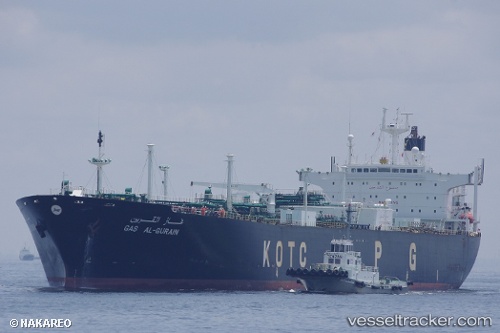
 LADY LIBERTY
Current Status
Where is the vessel?
LADY LIBERTY is currently in 48 nm N of Ulleung-gun, based on AIS data received about 14h ago.
Latest AIS update:
Current position: 38.26192° N, 130.68742° E (48 nm N of Ulleung-gun)
Average speed (last 7 days): Loading…
Average speed (last 30 days): Loading…
Vessel profile: LADY LIBERTY is a Lpg Tanker with dimensions m x m.
This page combines live AIS, route history, probable destination signals, nearby traffic, and port activity for practical vessel monitoring.
The current position of vessel LADY LIBERTY is 38.26192 lat / 130.68742 lng. Updated: 2026-05-18 04:25:14 UTCNearest reference points:
- 33 nm NE of Ulleung-gun
- 96 nm N of Ulleung-gun
- 94 nm N of Dokdo
Currently sailing under the flag of Sao Tome and Principe ![]()
Details:
Live Vessel LADY LIBERTY Analytics (details, animations, etc.)
Recent AIS points (UTC):
2026-05-18 01:40:29 UTC · 37.87114, 130.47054 · SOG 9.2 kn · COG 25°2026-05-18 01:42:05 UTC · 37.87496, 130.47256 · SOG 9.1 kn · COG 26°
2026-05-18 03:26:07 UTC · 38.12222, 130.60931 · SOG 9.3 kn · COG 26°
2026-05-18 04:25:14 UTC · 38.26192, 130.68742 · SOG 9.2 kn · COG 22°