 KEY VIENTO
Current Status
Where is the vessel?
KEY VIENTO is currently in Near Kristiansund, based on AIS data received about 14h ago.
Latest AIS update:
Current position: 63.20933° N, 7.85184° E (Near Kristiansund)
Average speed (last 7 days): Loading…
Average speed (last 30 days): Loading…
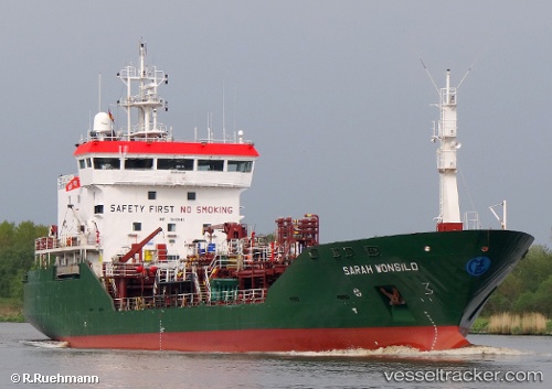
Vessel profile: KEY VIENTO is a Chemical Tanker with dimensions m x m.
This page combines live AIS, route history, probable destination signals, nearby traffic, and port activity for practical vessel monitoring.
The current position of vessel KEY VIENTO is 63.20933 lat / 7.85184 lng. Updated: 2026-05-20 06:03:29 UTCNearest reference points:
- Near Kristiansund
- Near Smøla
- Near Halsa
Currently sailing under the flag of Norway ![]()
Details:
Live Vessel KEY VIENTO Analytics (details, animations, etc.)
Recent AIS points (UTC):
2026-05-20 02:04:50 UTC · 63.19179, 6.31173 · SOG 10.4 kn · COG 84°2026-05-20 04:06:18 UTC · 63.23374, 7.11300 · SOG 10.7 kn · COG 85°
2026-05-20 04:43:59 UTC · 63.24712, 7.36115 · SOG 10.7 kn · COG 89°
2026-05-20 06:03:29 UTC · 63.20933, 7.85184 · SOG 10.5 kn · COG 95°