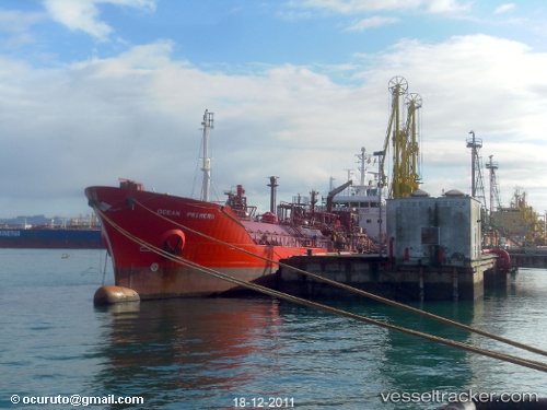
 STAR PRIME
Current Status
Where is the vessel?
STAR PRIME is currently in 14 nm SE of Sveti Nikola, based on AIS data received about 15h ago.
Latest AIS update:
Current position: 43.28265° N, 28.74243° E (14 nm SE of Sveti Nikola)
Average speed (last 7 days): Loading…
Average speed (last 30 days): Loading…
Vessel profile: STAR PRIME is a Lpg Tanker with dimensions m x m.
This page combines live AIS, route history, probable destination signals, nearby traffic, and port activity for practical vessel monitoring.
The current position of vessel STAR PRIME is 43.28265 lat / 28.74243 lng. Updated: 2026-05-20 18:31:29 UTCNearest reference points:
- Near Shabla
- 20 nm SE of Varna
- 20 nm E of Eforie Sud
Currently sailing under the flag of Sierra Leone ![]()
Details:
Live Vessel STAR PRIME Analytics (details, animations, etc.)
Recent AIS points (UTC):
2026-05-20 15:53:30 UTC · 42.92907, 28.47845 · SOG 9.1 kn · COG 18°2026-05-20 16:12:49 UTC · 42.97572, 28.49938 · SOG 9.2 kn · COG 19°
2026-05-20 18:05:10 UTC · 43.22750, 28.68745 · SOG 9.3 kn · COG 36°
2026-05-20 18:31:29 UTC · 43.28265, 28.74243 · SOG 9.3 kn · COG 35°