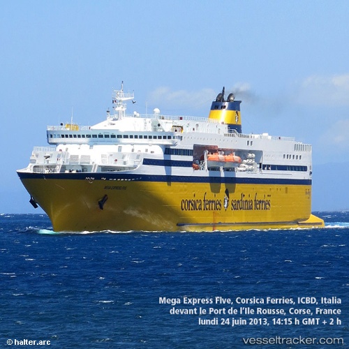
 MEGA X
Current Status
Where is the vessel?
MEGA X is currently in 37 nm N of MOCIMBOA DA PRAIA, based on AIS data received about 15h ago.
Latest AIS update:
Current position: 10.76533° S, 40.58900° E (37 nm N of MOCIMBOA DA PRAIA)
Average speed (last 7 days): Loading…
Average speed (last 30 days): Loading…
Vessel profile: MEGA X is a Ro-Ro/Passenger Ship with dimensions m x m.
This page combines live AIS, route history, probable destination signals, nearby traffic, and port activity for practical vessel monitoring.
The current position of vessel MEGA X is -10.76533 lat / 40.58900 lng. Updated: 2026-05-19 07:49:12 UTCNearest reference points:
- Near Mtwara
- 64 nm NE of Mtwara
Currently sailing under the flag of Antigua and Barbuda ![]()
Details:
Live Vessel MEGA X Analytics (details, animations, etc.)
Recent AIS points (UTC):
2026-05-19 04:19:13 UTC · -10.76567, 40.58983 · SOG 0.3 kn · COG 197°2026-05-19 06:19:21 UTC · -10.76517, 40.58933 · SOG 0.1 kn · COG 185°
2026-05-19 07:46:12 UTC · -10.76533, 40.58900 · SOG 0.2 kn · COG 200°
2026-05-19 07:49:12 UTC · -10.76533, 40.58900 · SOG 0.1 kn · COG 186°