 ISLAS TRES
Current Status
Where is the vessel?
ISLAS TRES is currently in 87 nm SE of Nedroma, based on AIS data received about 16h ago.
Latest AIS update:
Current position: 34.07667° N, 13.30667° W (87 nm SE of Nedroma)
Average speed (last 7 days): Loading…
Average speed (last 30 days): Loading…
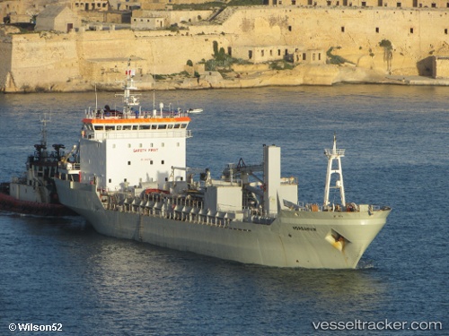
Vessel profile: ISLAS TRES is a Cement Carrier with dimensions m x m.
This page combines live AIS, route history, probable destination signals, nearby traffic, and port activity for practical vessel monitoring.
The current position of vessel ISLAS TRES is 34.07667 lat / -13.30667 lng. Updated: 2026-05-19 07:36:38 UTCNearest reference points:
- 104 nm W of Jarjis
- 109 nm E of Porto Santo Island
- 101 nm SW of Jarjis
Currently sailing under the flag of Panama ![]()
Details:
Live Vessel ISLAS TRES Analytics (details, animations, etc.)
Recent AIS points (UTC):
2026-05-19 04:54:13 UTC · 33.89333, -13.76167 · SOG 9 kn · COG -1°2026-05-19 05:45:19 UTC · 33.94833, -13.61667 · SOG 9 kn · COG -1°
2026-05-19 07:33:37 UTC · 34.07167, -13.31500 · SOG 9 kn · COG -1°
2026-05-19 07:36:38 UTC · 34.07667, -13.30667 · SOG 9 kn · COG -1°