 PRINCESS BANA
Current Status
Where is the vessel?
PRINCESS BANA is currently in Near Maltepe, based on AIS data received about 14h ago.
Latest AIS update:
Current position: 40.78541° N, 29.08541° E (Near Maltepe)
Average speed (last 7 days): Loading…
Average speed (last 30 days): Loading…
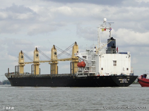
Vessel profile: PRINCESS BANA is a Bulk Carrier with dimensions 158m x 25m.
This page combines live AIS, route history, probable destination signals, nearby traffic, and port activity for practical vessel monitoring.
The current position of vessel PRINCESS BANA is 40.78541 lat / 29.08541 lng. Updated: 2026-05-22 07:20:04 UTCNearest reference points:
- Near Maltepe
- 11 nm S of Maltepe
- Near TUZLA
Currently sailing under the flag of St.Kitts and Nevis ![]()
PRINCESS BANA built in 1994 year
Deadweight:
22059 tDetails:
Live Vessel PRINCESS BANA Analytics (details, animations, etc.)
Recent AIS points (UTC):
2026-05-22 03:28:08 UTC · 40.84962, 29.03114 · SOG 0.5 kn · COG 128°2026-05-22 04:15:03 UTC · 40.78021, 29.05318 · SOG 6 kn · COG 102°
2026-05-22 06:20:03 UTC · 40.78441, 29.08093 · SOG 0.2 kn · COG 144°
2026-05-22 07:20:04 UTC · 40.78541, 29.08541 · SOG 0.2 kn · COG 146°