 AGAETE
Current Status
Where is the vessel?
AGAETE is currently in 18 nm W of Town Quays/Drogheda, based on AIS data received about 15h ago.
Latest AIS update:
Current position: 53.72665° N, 5.82730° E (18 nm W of Town Quays/Drogheda)
Average speed (last 7 days): Loading…
Average speed (last 30 days): Loading…
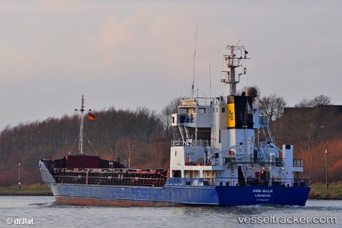
Vessel profile: AGAETE is a General Cargo Ship with dimensions 87m x 87m.
This page combines live AIS, route history, probable destination signals, nearby traffic, and port activity for practical vessel monitoring.
The current position of vessel AGAETE is 53.72665 lat / 5.82730 lng. Updated: 2026-05-19 04:14:12 UTCNearest reference points:
- 14 nm NW of Town Quays/Drogheda
- Near Hempens
- Near LEEUWARDEN
Currently sailing under the flag of Antigua and Barbuda ![]()
AGAETE built in 1991 year
Deadweight:
3269 tDetails:
Live Vessel AGAETE Analytics (details, animations, etc.)
Recent AIS points (UTC):
2026-05-19 01:21:22 UTC · 53.86357, 6.57717 · SOG 9.2 kn · COG 252°2026-05-19 01:50:12 UTC · 53.84400, 6.45502 · SOG 9.5 kn · COG 252°
2026-05-19 04:00:22 UTC · 53.74003, 5.88782 · SOG 10 kn · COG 249°
2026-05-19 04:14:12 UTC · 53.72665, 5.82730 · SOG 9.8 kn · COG 249°