Red Resource
Current StatusWhere is the vessel?
Red Resource is currently in Near Madura Terminal, based on AIS data received about 14h ago.
Latest AIS update:
Current position: 6.80842° S, 113.09239° E (Near Madura Terminal)
Average speed (last 7 days): Loading…
Average speed (last 30 days): Loading…
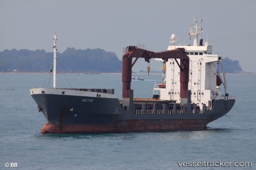
Vessel profile: Red Resource is a Multi Purpose Carrier with dimensions 16m x 100m.
This page combines live AIS, route history, probable destination signals, nearby traffic, and port activity for practical vessel monitoring.
The current position of vessel Red Resource is -6.80842 lat / 113.09239 lng. Updated: 2026-05-22 16:07:47 UTCNearest reference points:
- 11 nm W of Madura Terminal
- 10 nm W of Poleng
- Near Bangkalan
Details:
Live Vessel Red Resource Analytics (details, animations, etc.)
Recent AIS points (UTC):
2026-05-22 13:03:06 UTC · -7.01400, 112.67499 · SOG 11.1 kn · COG 25°2026-05-22 13:56:18 UTC · -6.87359, 112.74760 · SOG 10.2 kn · COG 48°
2026-05-22 16:03:49 UTC · -6.80817, 113.08179 · SOG 9.5 kn · COG 96°
2026-05-22 16:07:47 UTC · -6.80842, 113.09239 · SOG 9.4 kn · COG 91°