 vesseltracker.com
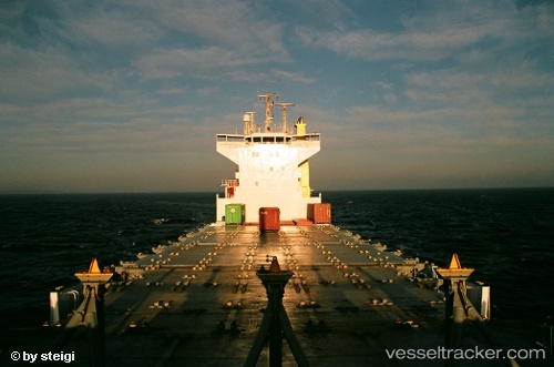
 ARCHERFISH
Current Status
Where is the vessel?
ARCHERFISH is currently in 61 nm N of Atakka Dry Port, based on AIS data received about 14h ago.
Latest AIS update:
Current position: 33.08458° N, 33.29787° E (61 nm N of Atakka Dry Port)
Average speed (last 7 days): Loading…
Average speed (last 30 days): Loading…
Vessel profile: ARCHERFISH is a Container Ship with dimensions m x m.
This page combines live AIS, route history, probable destination signals, nearby traffic, and port activity for practical vessel monitoring.
The current position of vessel ARCHERFISH is 33.08458 lat / 33.29787 lng. Updated: 2026-05-18 04:11:49 UTCNearest reference points:
- 17 nm E of Atakka Dry Port
- 31 nm SE of Vasilikos
- 22 nm W of Haifa Granaries
Currently sailing under the flag of Panama ![]()
Details:
Live Vessel ARCHERFISH Analytics (details, animations, etc.)
Recent AIS points (UTC):
2026-05-18 02:17:55 UTC · 32.97387, 33.03991 · SOG 8 kn · COG 66°2026-05-18 02:19:24 UTC · 32.97532, 33.04348 · SOG 8 kn · COG 66°
2026-05-18 03:54:35 UTC · 33.06673, 33.25966 · SOG 7.6 kn · COG 62°
2026-05-18 04:11:49 UTC · 33.08458, 33.29787 · SOG 7.2 kn · COG 62°