 vesseltracker.com
 MUTIARA FERINDO 7
Current Status
Where is the vessel?
MUTIARA FERINDO 7 is currently in Near Tarahan, based on AIS data received about 16h ago.
Latest AIS update:
Current position: 5.46564° S, 105.31370° E (Near Tarahan)
Average speed (last 7 days): Loading…
Average speed (last 30 days): Loading…
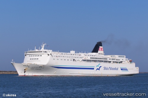
Vessel profile: MUTIARA FERINDO 7 is a Ro-Ro/Passenger Ship with dimensions m x m.
This page combines live AIS, route history, probable destination signals, nearby traffic, and port activity for practical vessel monitoring.
The current position of vessel MUTIARA FERINDO 7 is -5.46564 lat / 105.31370 lng. Updated: 2026-05-18 04:44:54 UTCNearest reference points:
- Near Tarahan
- 28 nm SW of Tarahan
- 29 nm SW of Tarahan
Currently sailing under the flag of Indonesia ![]()
Details:
Live Vessel MUTIARA FERINDO 7 Analytics (details, animations, etc.)
Recent AIS points (UTC):
2026-05-18 04:44:54 UTC · -5.46564, 105.31370 · SOG 4.6 kn · COG -1°2026-05-18 04:44:54 UTC · -5.46564, 105.31370 · SOG 4.6 kn · COG -1°
2026-05-18 04:44:54 UTC · -5.46564, 105.31370 · SOG 4.6 kn · COG -1°
2026-05-18 04:44:54 UTC · -5.46564, 105.31370 · SOG 4.6 kn · COG -1°