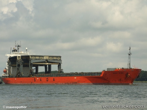
 SAGA WIND
Current Status
Where is the vessel?
SAGA WIND is currently in 44 nm N of Itarema, based on AIS data received about 14h ago.
Latest AIS update:
Current position: 2.20255° S, 39.76296° W (44 nm N of Itarema)
Average speed (last 7 days): Loading…
Average speed (last 30 days): Loading…
Vessel profile: SAGA WIND is a General Cargo with dimensions m x m.
This page combines live AIS, route history, probable destination signals, nearby traffic, and port activity for practical vessel monitoring.
The current position of vessel SAGA WIND is -2.20255 lat / -39.76296 lng. Updated: 2026-05-19 09:26:06 UTCNearest reference points:
- 81 nm N of Acarau
- 28 nm N of Pecém Pt/São Gonçalo do Amarante
- 141 nm N of Itarema
Currently sailing under the flag of Bahamas ![]()
Details:
Live Vessel SAGA WIND Analytics (details, animations, etc.)
Recent AIS points (UTC):
2026-05-19 05:21:54 UTC · -1.96240, -40.38764 · SOG 10.1 kn · COG 105°2026-05-19 07:25:53 UTC · -2.08153, -40.06897 · SOG 9.2 kn · COG 107°
2026-05-19 08:09:29 UTC · -2.12553, -39.96173 · SOG 9.8 kn · COG -1°
2026-05-19 09:26:06 UTC · -2.20255, -39.76296 · SOG 9.8 kn · COG 119°