 MK ENERGY DUA
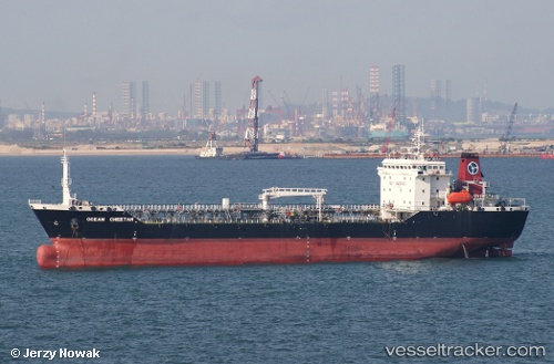
Current Status
Where is the vessel?
MK ENERGY DUA is currently in Near Kapar, based on AIS data received about 14h ago.
Latest AIS update:
Current position: 3.07833° N, 101.33500° E (Near Kapar)
Average speed (last 7 days): Loading…
Average speed (last 30 days): Loading…
Vessel profile: MK ENERGY DUA is a Oil Products Tanker with dimensions 19m x 120m.
This page combines live AIS, route history, probable destination signals, nearby traffic, and port activity for practical vessel monitoring.
The current position of vessel MK ENERGY DUA is 3.07833 lat / 101.33500 lng. Updated: 2026-05-20 03:41:31 UTCNearest reference points:
- Near Kapar
- Near Port Klang (Ferry Port)
- Near Port Swettenham
Currently sailing under the flag of Malaysia ![]()
MK ENERGY DUA built in 1996 year
Deadweight:
12085 tDetails:
Live Vessel MK ENERGY DUA Analytics (details, animations, etc.)
Recent AIS points (UTC):
2026-05-20 00:06:47 UTC · 3.07931, 101.33701 · SOG 0.1 kn · COG 326°2026-05-20 02:06:45 UTC · 3.07923, 101.33688 · SOG 0 kn · COG 321°
2026-05-20 02:18:45 UTC · 3.07911, 101.33668 · SOG 0.1 kn · COG 326°
2026-05-20 03:41:31 UTC · 3.07833, 101.33500 · SOG 0 kn · COG -1°