 HAI BAO
Current Status
Where is the vessel?
HAI BAO is currently in Near Bunati, based on AIS data received about 21h ago.
Latest AIS update:
Current position: 3.82080° S, 115.66307° E (Near Bunati)
Average speed (last 7 days): Loading…
Average speed (last 30 days): Loading…
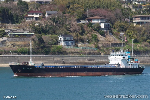
Vessel profile: HAI BAO is a Cargo with dimensions m x m.
This page combines live AIS, route history, probable destination signals, nearby traffic, and port activity for practical vessel monitoring.
The current position of vessel HAI BAO is -3.82080 lat / 115.66307 lng. Updated: 2026-05-21 03:31:42 UTCNearest reference points:
- Near Bunati
- 12 nm SE of Bunati
- Near TANJUNG PEMANCINGAN
Currently sailing under the flag of Belize ![]()
Details:
Live Vessel HAI BAO Analytics (details, animations, etc.)
Recent AIS points (UTC):
2026-05-21 03:31:42 UTC · -3.82080, 115.66307 · SOG 1.6 kn · COG -1°2026-05-21 03:31:42 UTC · -3.82080, 115.66307 · SOG 1.6 kn · COG -1°
2026-05-21 03:31:42 UTC · -3.82080, 115.66307 · SOG 1.6 kn · COG -1°
2026-05-21 03:31:42 UTC · -3.82080, 115.66307 · SOG 1.6 kn · COG -1°