 KENSING 2
Current Status
Where is the vessel?
KENSING 2 is currently in 173 nm SW of Malakal, based on AIS data received about 14h ago.
Latest AIS update:
Current position: 5.25376° N, 132.43083° E (173 nm SW of Malakal)
Average speed (last 7 days): Loading…
Average speed (last 30 days): Loading…
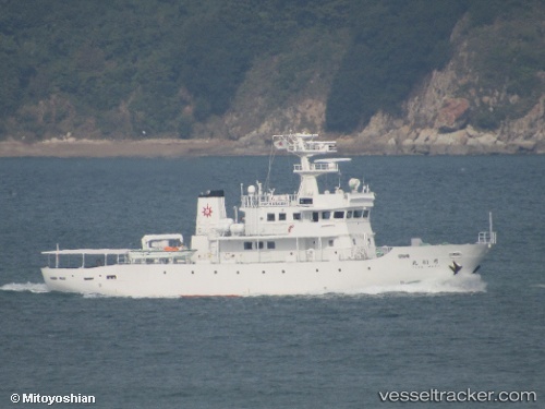
Vessel profile: KENSING 2 is a Other Type with dimensions m x m.
This page combines live AIS, route history, probable destination signals, nearby traffic, and port activity for practical vessel monitoring.
The current position of vessel KENSING 2 is 5.25376 lat / 132.43083 lng. Updated: 2026-05-20 13:33:36 UTCNearest reference points:
- 79 nm W of Malakal
Currently sailing under the flag of Palau ![]()
Details:
Live Vessel KENSING 2 Analytics (details, animations, etc.)
Recent AIS points (UTC):
2026-05-20 10:05:52 UTC · 5.34636, 132.29692 · SOG 2.9 kn · COG 94°2026-05-20 10:31:22 UTC · 5.33407, 132.31361 · SOG 2.9 kn · COG 88°
2026-05-20 12:55:30 UTC · 5.26802, 132.40771 · SOG 2.9 kn · COG 105°
2026-05-20 13:33:36 UTC · 5.25376, 132.43083 · SOG 2.5 kn · COG 88°